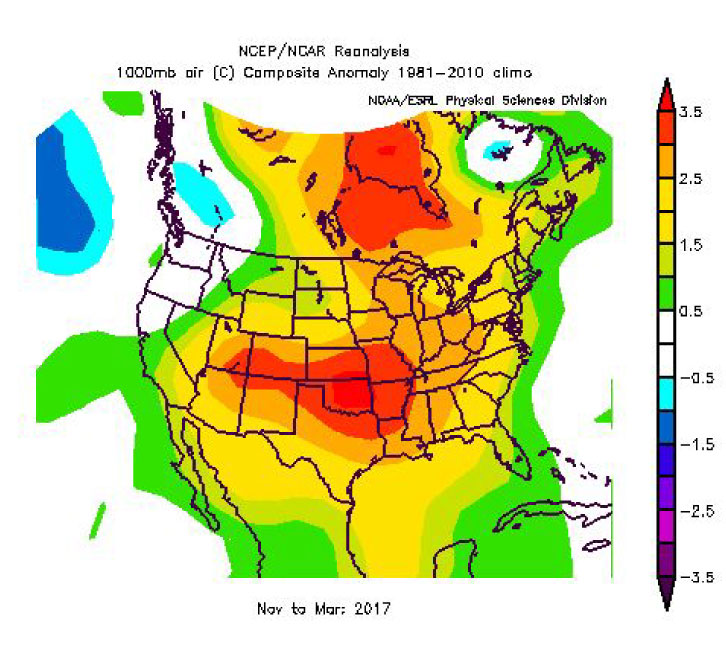
A significant cold event is poised to make its way from Canada next Tuesday/Wednesday, through the Great Lakes, and into the Midwest and Ohio Valley before heading to the Northeast. This will be the most significant event of this short winter season thus far. Regarding temperature anomalies, expect a 1.5 or 2 sigma event with nightly lows in the upper teens/low 20s and daily highs into the 30s/40s. A secondary short-wave will bring reinforcing cold by the end of the work-week next week, thus extending this cold event into the second full-week of December. On top of cold temperature anomalies, an abundant flow of moisture combined with northwesterly flow should make for lake-effect snows in all of the usual places.
ERCOT will see reduced temperatures from this air mass as well. But, the freezing mark likely will not make it that far south and west. The North Zone may get in on upper 30s for nightly lows and 50s for highs, which will lead to increased load.
As weather vendors are often cautious/slow in forecasting such a sharp temperature change, your current load forecast for next week and the week after may not accurately reflect the magnitude of load which you will see. To better quantify your load for the first two weeks of December, please use the "Extreme Weather" module of our Demand Forecasting System. This tool will assist with your hedge planning for the upcoming two weeks.


